Background - more about me
I entered grad school during the Covid-19 pandemic to initially pursue an M.S. degree in geospatial sciences. However, I quickly resonated with remote sensing and utilizing imagery to identify surface features (e.g., land-use, land-cover, etc.). While most Earth remote sensing is inherently geospatial to some degree, the last four years of my graduate career has largely focused on this subset of geospatial sciences, likely due to my love of outdoor photography and landscape geomorphology.
I continued my education by pursing a PhD in Virginia Tech’s unique Geospatial and Environmental Analysis program. I plan to graduate in fall 2026 and work as a geospatial data scientist/remote sensing scientist.
My other hobbies and interests include:
- 🎒 Hiking/backpacking
- 💻 Open online courses (MOOCs)/upskilling
- 🎣 Fly/conventional fishing
- 🏋️♂️ Gym/working out
- 🛠️ Tinkering/working on things (anything from maintaining my car to completing cool projects like my Gaggiuino build)
Photos
Here are some pictures of places I've been in recent time...
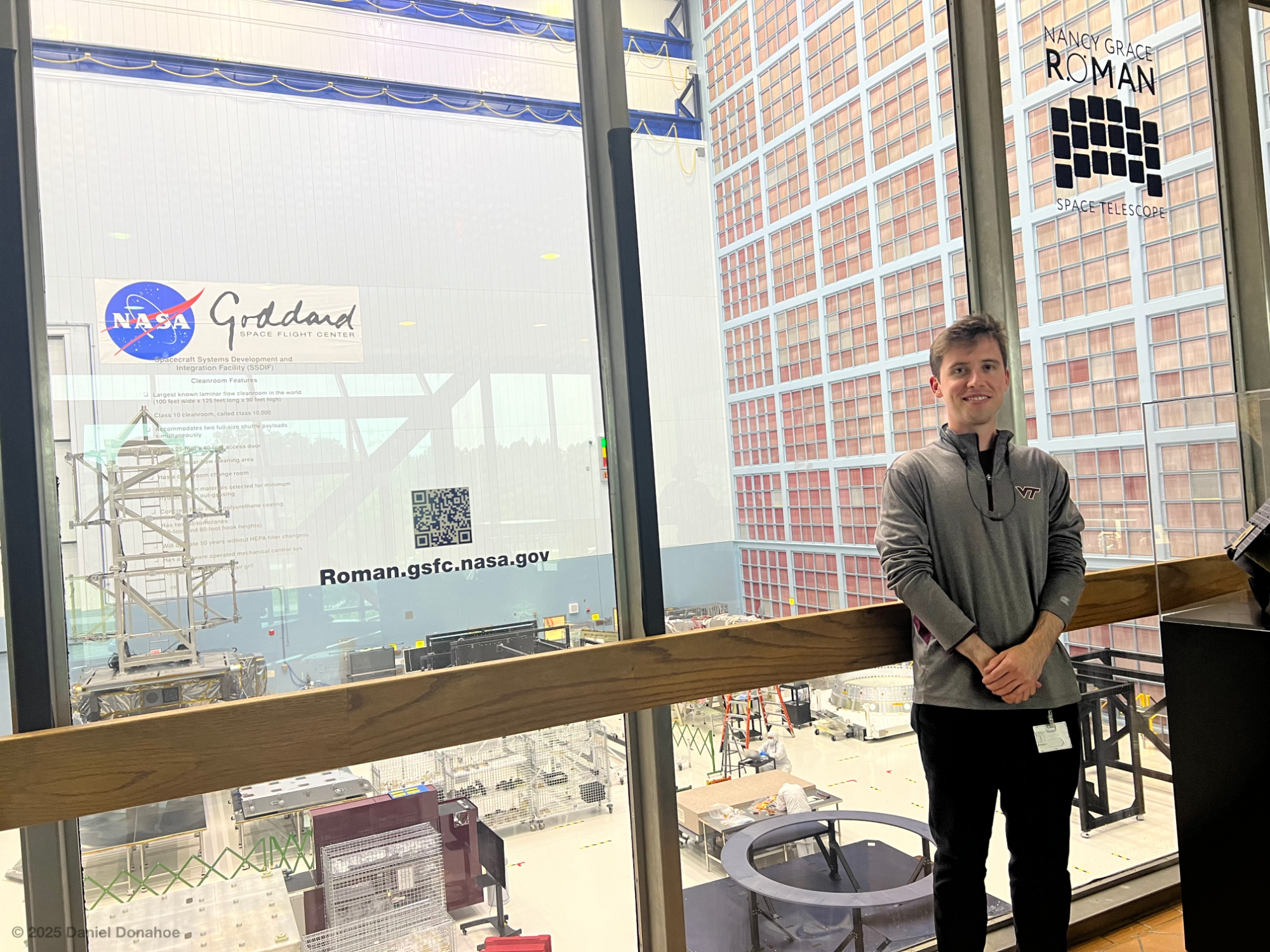
Visiting the clean room at Goddard Space Flight Center during my internship with the Science Data Processing Branch - June 30, 2023 (Greenbelt, MD)
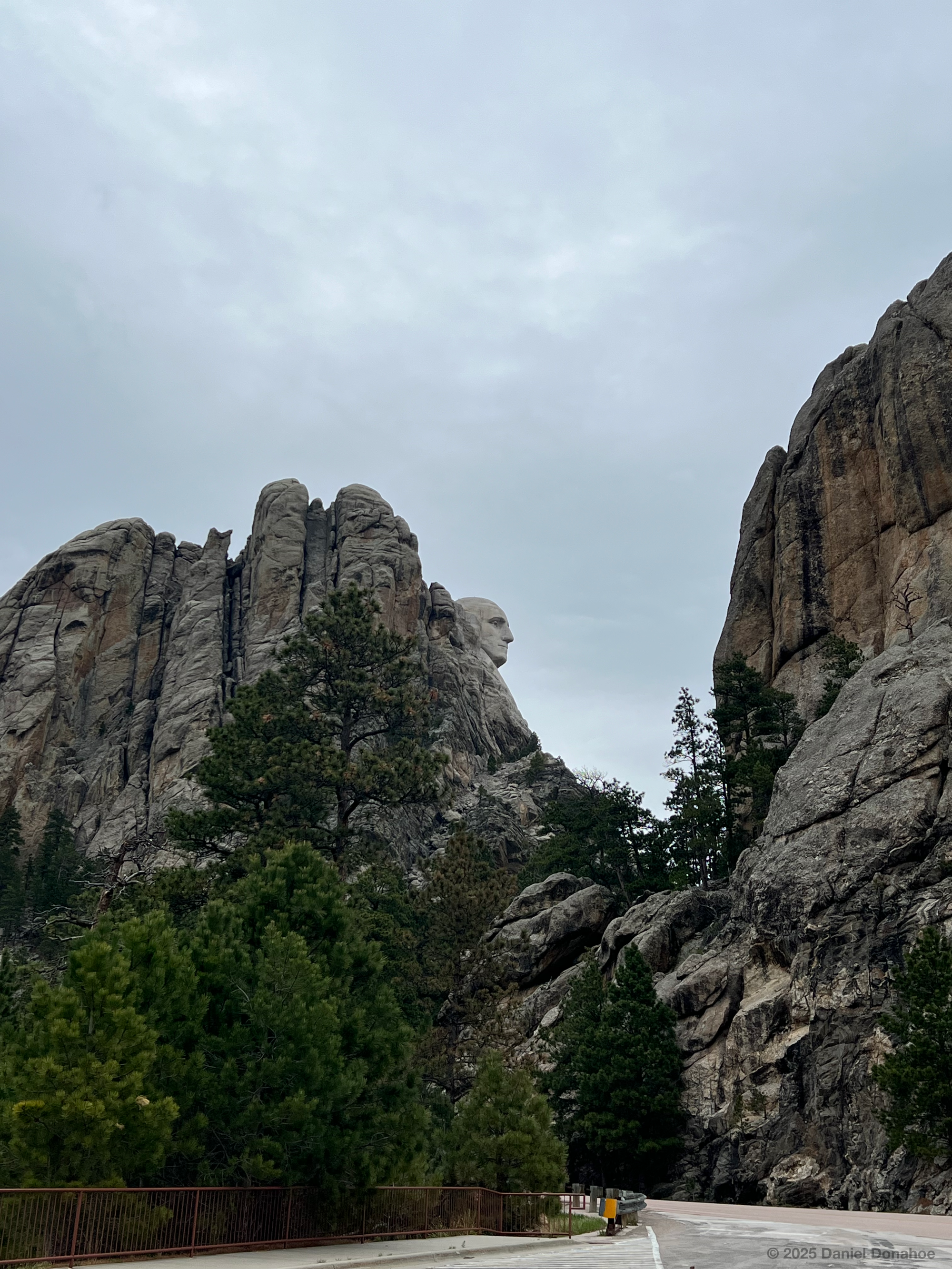
Viewing Mount Rushmore National Memorial from the lesser-known "profile view" location - May 21, 2024 (Keystone, SD)
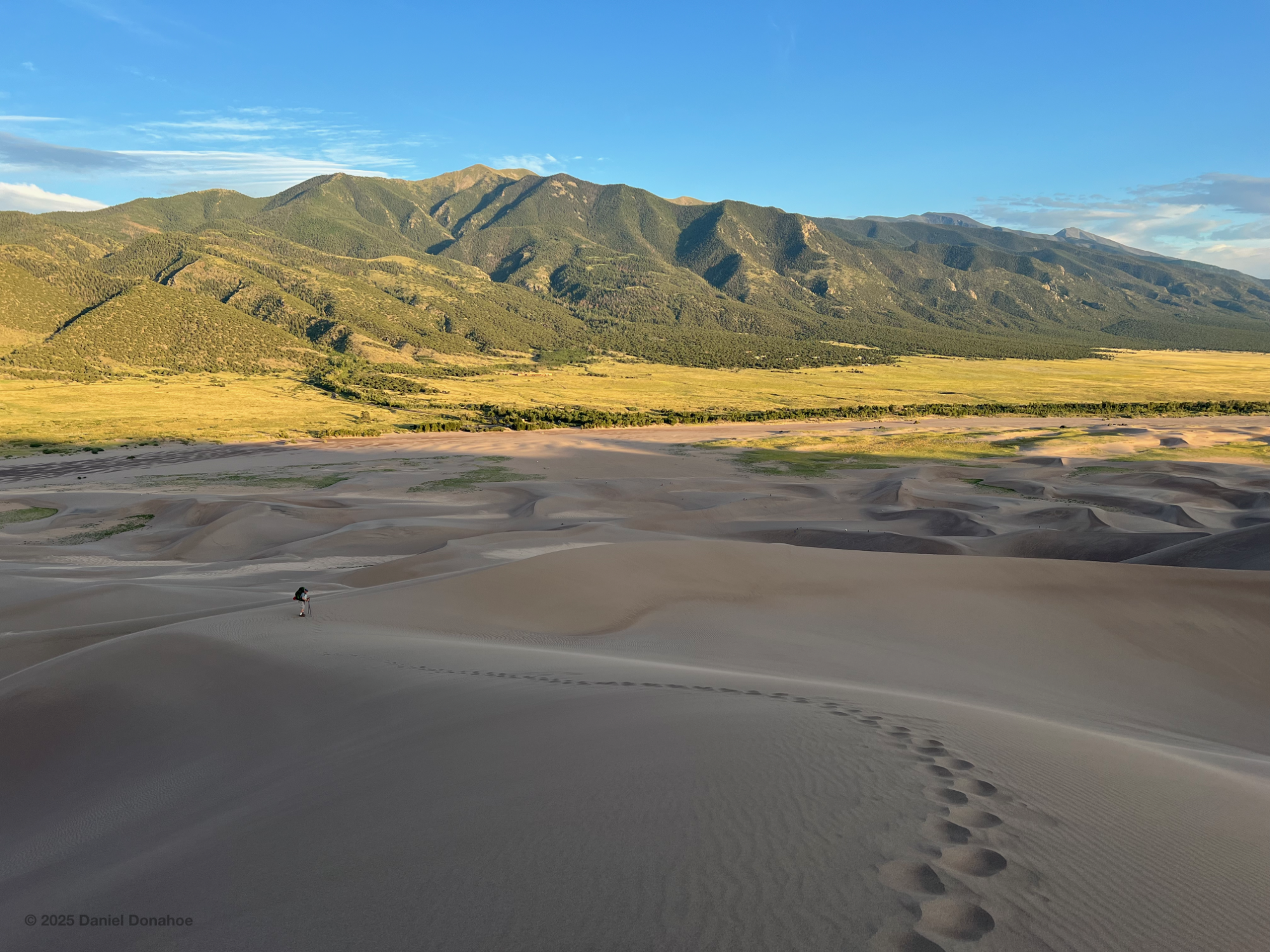
Looking back on Great Sand Dunes National Park and Preserve (GSDNP) - June 29, 2024 (Alamosa, CO)
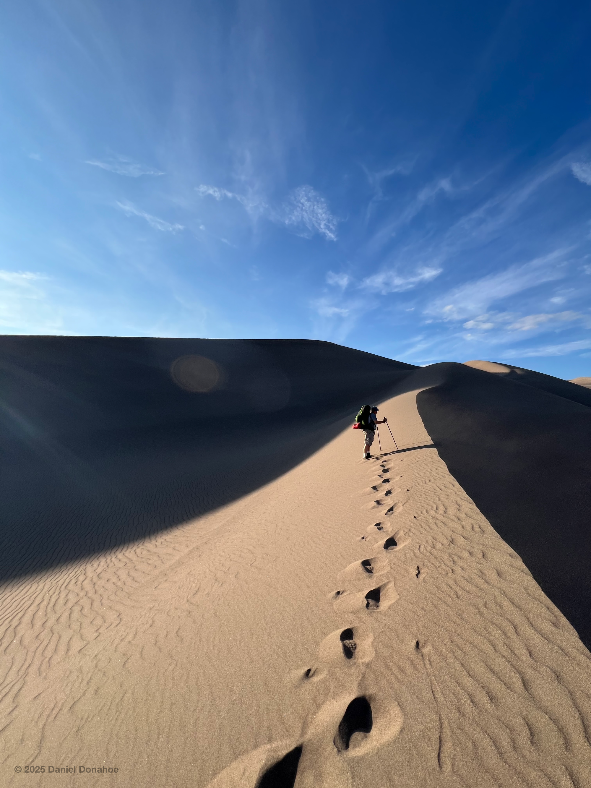
Summiting the tallest dune (GSDNP) - June 29, 2024